Property planning or farm design
Property planning or farm design is the key to developing a long term sustainable business that can minimise the negative impacts of variable seasons and maximise the benefits. A plan will enable you to better prepare for the future and record management changes to existing infrastructure. An example may be to change from a cropping to grazing enterprise or implement pasture cropping. It may also include establishment of riparian zones along waterways, off-stream watering points and reticulated watering systems. The property plan is an essential tool to record changes.
In the future, every business will need an up to date property plan to enable the development of new strategies. The farm plan has number of basic components that have not altered in many years, except for the availability of newer technologies within rural industries. It is imperative that the plan have an accurate high quality image (photograph) that can be used for planning. This can be either a hard copy or a computerised image and it can be used to record existing development and proposed changes to infrastructure and development.
Computerised Mapping
The most accurate map/plan will always be a computerised farm plan. The computerised farm plan can be as accurate as the image (better than 1 metre accuracy). To construct a computerised farm plan, you will need:
- Computerised Mapping Software (Recommended Phoenix)
- A handheld GPS (Recommend Map 62S or equivalent)
- Notebook
- Time to tour the farm to gather information
- Time to download GPS information and develop a plan.
The benefits of compiling a computerised plan are:
- Accuracy of measurements of pipelines, fences etc
- Accuracy of position of resources, fences, pumps etc
- The ability to measure to 0.1 of a ha or to also use acres
- Plans can be printed on your own computer
- Ability to test scenarios and cost out.
The resources to be mapped
- Landtypes
- Existing water resources (bores, dams, tanks, ground tanks, pumps, windmills, turkeys nests, pipes, bore drains troughs)
- Natural water resources (lakes, creeks, rivers)
- Existing infrastructure (homestead, quarters, cattle yards, sheep yards, sheds, air strips)
- Vegetation communities (regional ecosystem maps and in your own language)
- Soil types (comparison between high and low quality soils)
- Pastures / cropping areas
- Fertility issues (trouble spots)
- Weed issues (key major weed species)
- Existing fences and paddocks
- Existing contour banks, diversions and weirs.
- Proposed fences, subdivisions and paddocks
- Walking distance to water
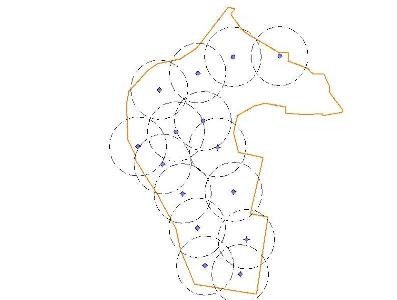
The key to property planning is to understand the walking distance to water for various landtypes
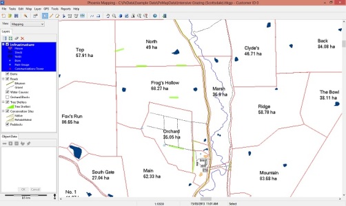
Example of Mapping.
Purpose of the Plan
- Recording existing infrastructure
- Recording planned infrastructure
- Analysing costs of development
- Measuring pipelnes and fences
- Measuring areas
- Measuring stock walking distance
- Contractor maps
- Government agency maps
- Regulatatory requirements (PMAV or PVMP)
Simplicity or Complexity
The property plan can be as simple or as complex as you would like it to be. The most useful plan is a computerised plan. If you wish to develop a property plan, give the office a call. GBP Qld are agents for AGDATA's Phoenix Map. We can assist you to set up the software, compile a map and gather required information.
Work out what you want to use the plan for? What is the main reason for the plan?
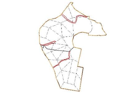
Below are some example plans:-
Original waters
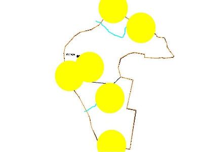
New water plan
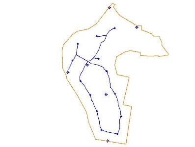
New Utilisation
New fences
